VISIT ENSCHEDE

Enschede old Maps

Old maps

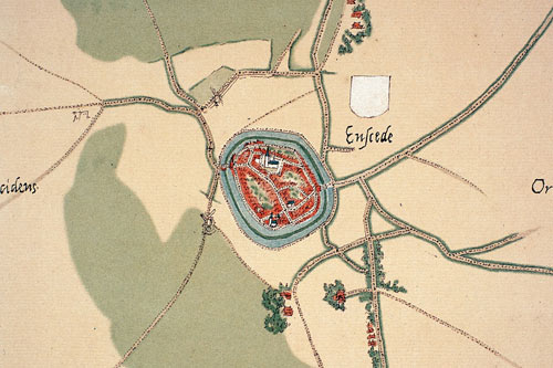
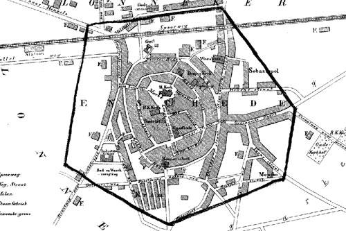
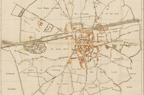
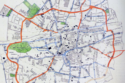
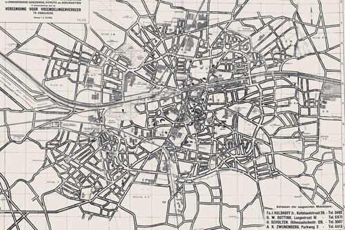
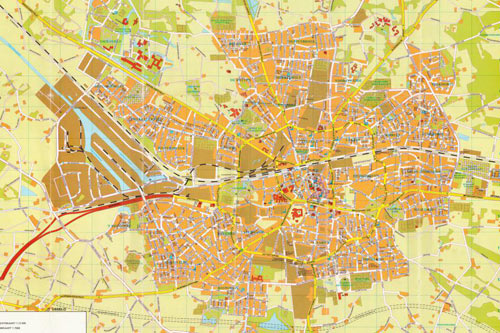
The city of Enschede has changed much over time but still one can recognize the oval form of the innercity.

Enschede map 1570
Map drawn by Jacob van Deventer around 1570.
Enschede map 1867
Enschede map 1867. Enschede was surrounded my the city of Lonneker
Enschede map 1884
The 1884 map shows an expanding city.
Enschede map 1913
A 1913 plan outlines the future ring road 'singel'.
Enschede map 1937
In 1937 the Twentekanaal (left) connected the growing city of Enschede.
Enschede map 1980
The textile sites are mostly gone in the early 80s.